Skip to content
My Account
Remember Me
Register
Cart
Search for:
Search for:
New Acquisitions
Our Catalog
About
Publications
We Buy Maps
Contact
My Account
Remember Me
Register
Search for:
New Acquisitions
Our Catalog
About
Publications
We Buy Maps
Contact
My Account
Remember Me
Register
New Acquisitions
Our Catalog
About
Publications
We Buy Maps
Contact
Sort by:
Default - newest first
Publication date - newest
Publication date - oldest
Acquisition date - newest
Acquisition date - oldest
Price - lowest
Price - highest
Sort by
Default Order
Sort by
Default Order
Sort by
Name
Sort by
Price
Sort by
Date
Sort by
Popularity
Show
12 Products
Show
12 Products
Show
24 Products
Show
36 Products
French edition of the best Revolutionary War Chart of the Chesapeake… used by the French fleet in the Yorktown campaign?
$
7,500.00
“The best map of Pennsylvania to appear in the 18th century” (Wheat and Brun)
$
17,500.00
John Reid’s “American Atlas,” including the plan of Washington, D.C.
$
20,000.00
William Coffin’s “Map of the Town of Nantucket”
$
35,000.00
William Mitchell’s “Map of the Island of Nantucket”
$
42,500.00
A Western rarity: The first edition of the Nicollet map of the Upper Mississippi River basin
$
7,500.00
A rare and handsome map of Chicago’s first railroad
$
4,500.00
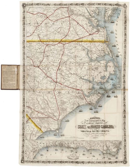
Colton’s spectacular map of North Carolina and the Chesapeake under Union blockade
$
6,000.00
“We come as conquerors, but not as oppressors”: Eisenhower assumes supreme authority in occupied Germany
$
7,500.00
A remarkable synthesis of North American geography, with California as an island
$
7,500.00
Van Keulen’s striking chart of the northern seas, with a delightful ethnographic cartouche
$
1,500.00
Important Revolutionary War-era map of Lake Champlain and Lake George
$
5,000.00
1
2
…
25
Next
Page load link